Our Range of Services
As a complete survey service provider, Geo Scan offers end-to-end coverage for your building or land development projects.

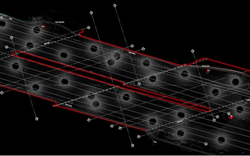
Topographic Land Surveys
- Digital Terrain Models
- Site Surveys
- Location Plans
- GPS/GNSS Orientation to Ordnance Survey

Measured Building Surveys
- Any size & complexity
- Fully connected as standard
- Listed buildings
- Rights of Light Analysis

3D Laser Scanning
- Point cloud surveys
- Complex environments
- Digital replica of your site
- Virtual site tours / walkthroughs
2D AutoCAD Drawings
- Floor plans, roof plans
- Reflected ceiling plans
- Cross-sections
- Elevations & streetscapes


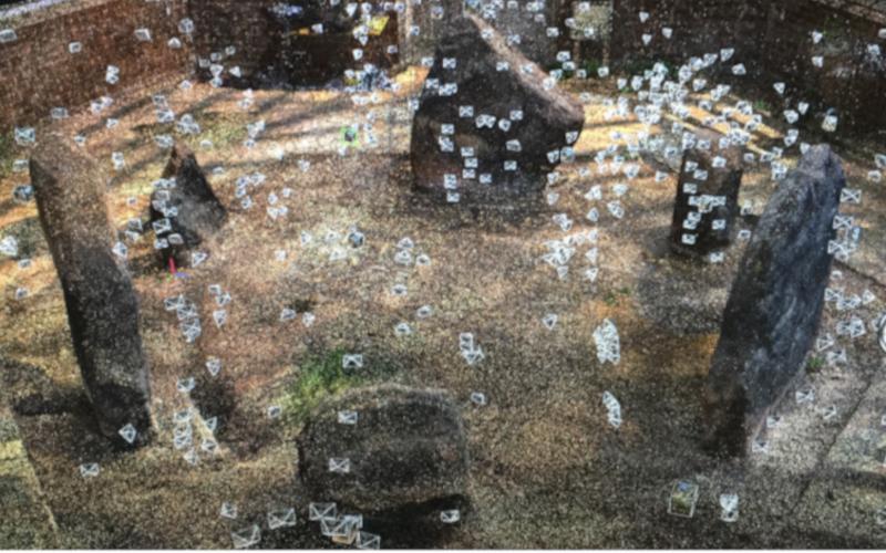
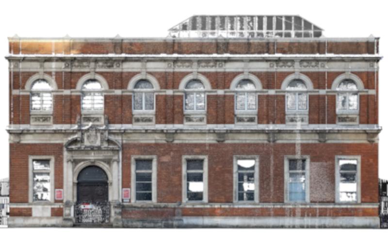
Heritage Surveys
- Grade I & Grade II listed buildings
- Comprehensive documentation
- Unique permanent record
Request a Survey Quotation
Unlock the potential of your property with our reliable Measured Surveys.